All destinations

Discover the best places to visit on Madeira Island reachable by bus.

Funchal & around (16)

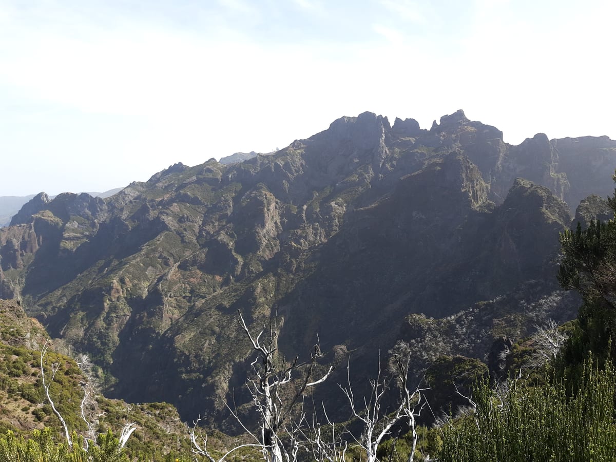
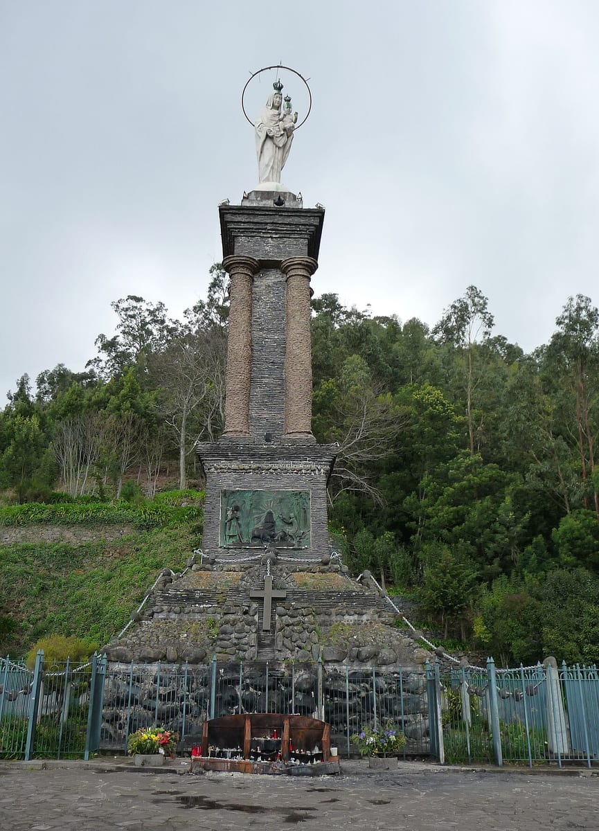
Terreiro da Luta

Check the stop and direction

Access from the stop

Use the named Terreiro da Luta stop or timing point for Terreiro da Luta. Plan the pedestrian leg from that point to your exact destination; the bus sheet does not give a walking distance or confirm entrance access.
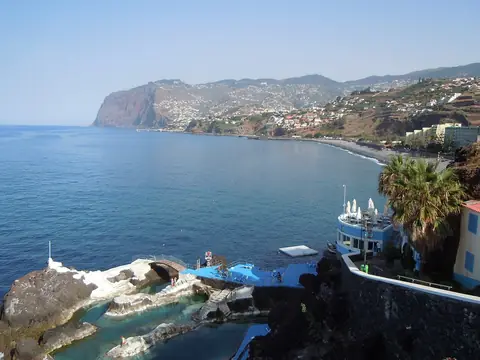
Praia Formosa

Check the stop and direction

Access from the stop

Use the named Praia Formosa, D (850A) stop or timing point for Praia Formosa. Plan the pedestrian leg from that point to your exact destination; the bus sheet does not give a walking distance or confirm entrance access.
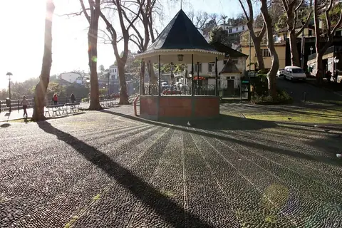
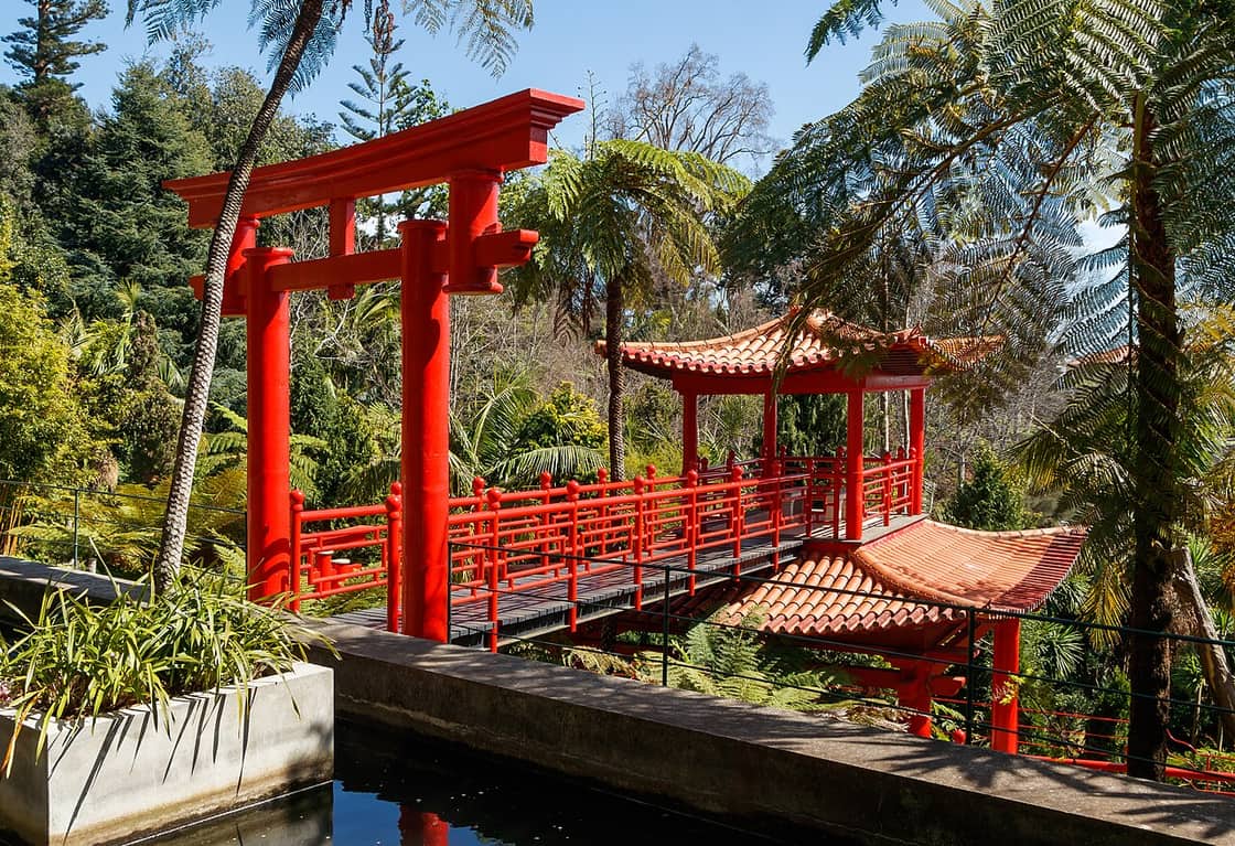
Monte Palace

Check the stop and direction

Access from the stop

Use the named Largo da Fonte, T-20 (540) / Largo Fonte, T-21 e 48 (569) stop or timing point for Monte Palace. Plan the pedestrian leg from that point to your exact destination; the bus sheet does not give a walking distance or confirm entrance access.
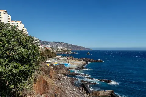
Monte

Access from the stop

The Monte terminus is a short walk from Nossa Senhora do Monte church, the Monte Palace tropical garden and the toboggan start at the foot of the church steps.

Mercado dos Lavradores

Check the stop and direction

Access from the stop

Use the named Antes C C Anadia, D (156) stop or timing point for Mercado dos Lavradores. Plan the pedestrian leg from that point to your exact destination; the bus sheet does not give a walking distance or confirm entrance access.
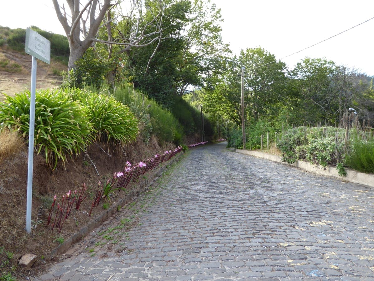
Lido (Funchal)

Check the stop and direction

Access from the stop

Use the named CZ Lido (18) / Porto Bay (1340) stop or timing point for Lido. Plan the pedestrian leg from that point to your exact destination; the bus sheet does not give a walking distance or confirm entrance access.
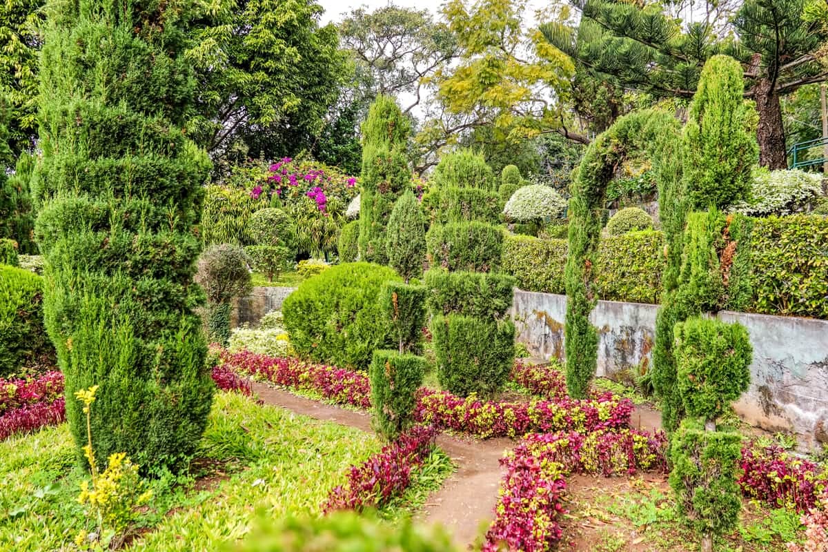
Jardim da Serra

Access from the stop

Use the named Jardim da Serra stop or timing point for Jardim da Serra. Plan the pedestrian leg from that point to your exact destination; the bus sheet does not give a walking distance or confirm entrance access.
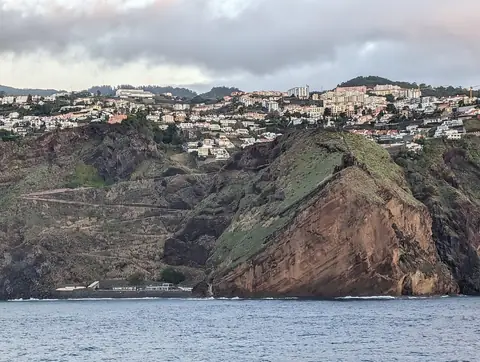
Jardim Botânico

Check the stop and direction

Access from the stop

Use the named Jardim Botânico, T-31 (347A) stop or timing point for Jardim Botânico. Plan the pedestrian leg from that point to your exact destination; the bus sheet does not give a walking distance or confirm entrance access.
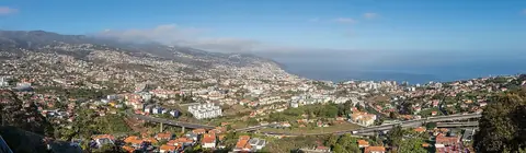
Garajau

Check the stop and direction

Access from the stop

Use the named Garajau stop or timing point for Garajau. Plan the pedestrian leg from that point to your exact destination; the bus sheet does not give a walking distance or confirm entrance access.
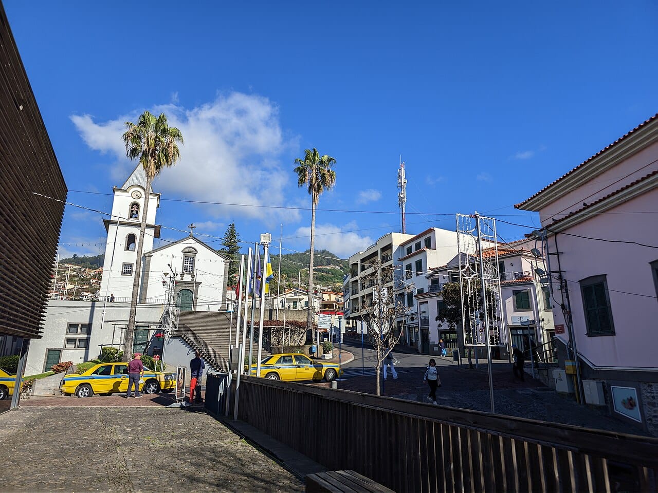
Funchal

Check the stop and direction

Access from the stop

Use the named Centro stop or timing point for Funchal. Plan the pedestrian leg from that point to your exact destination; the bus sheet does not give a walking distance or confirm entrance access.
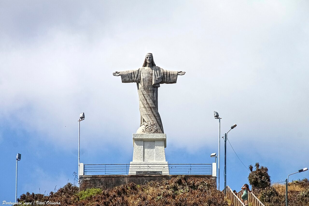
Estreito de Câmara de Lobos

Check the stop and direction

Access from the stop

Use the named Estreito C.Lobos stop or timing point for Estreito de Câmara de Lobos. Plan the pedestrian leg from that point to your exact destination; the bus sheet does not give a walking distance or confirm entrance access.
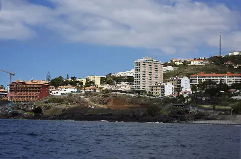
Cristo Rei

Check the stop and direction

Access from the stop

Use the named Garajau stop or timing point for Cristo Rei. Plan the pedestrian leg from that point to your exact destination; the bus sheet does not give a walking distance or confirm entrance access.
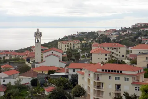
Caniço de Baixo

Check the stop and direction

Access from the stop

Use the named Ponta da Oliveira / Reis Magos (556) stop or timing point for Caniço de Baixo. Plan the pedestrian leg from that point to your exact destination; the bus sheet does not give a walking distance or confirm entrance access.
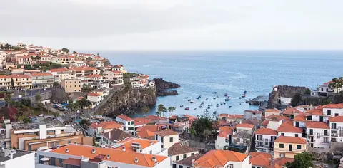
Caniço

Check the stop and direction

Access from the stop

Use the named Caniço Shopping / Ponta da Oliveira stop or timing point for Caniço. Plan the pedestrian leg from that point to your exact destination; the bus sheet does not give a walking distance or confirm entrance access.
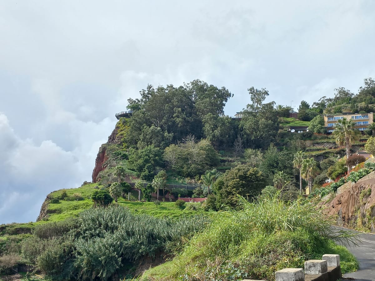
Câmara de Lobos

Access from the stop

The Câmara de Lobos timing point is in the town; the fishing harbour, the Churchill viewpoint and the waterfront bars are a few minutes on foot.

Cabo Girão

Check the stop and direction

Access from the stop

Use the named Cabo Girão stop or timing point for Cabo Girão. Plan the pedestrian leg from that point to your exact destination; the bus sheet does not give a walking distance or confirm entrance access.
East (7)

Santo da Serra

Check the stop and direction

Access from the stop

Use the named Santo da Serra, T-77 (C100A) stop or timing point for Santo da Serra. Plan the pedestrian leg from that point to your exact destination; the bus sheet does not give a walking distance or confirm entrance access.
Santa Cruz

Check the stop and direction

Access from the stop

The permitted bus sources do not establish an exact stop-to-promenade walking route here. Confirm your town stop first, then plan the pedestrian leg to the church, beach or accommodation.

Porto da Cruz

Access from the stop

Use the named Porto da Cruz stop or timing point for Porto da Cruz. Plan the pedestrian leg from that point to your exact destination; the bus sheet does not give a walking distance or confirm entrance access.
Machico

Access from the stop

The Machico stop is by the town centre: the beach, the seafront promenade and the Capela dos Milagres are all within a few minutes on foot. Whale-watching boats leave from the harbour.

Caniçal

Access from the stop

The village stop is in Caniçal itself: the Whaling Museum and the seafront are a short walk. Stay on the bus for Baía d’Abra if you are here for the PR8 trail.

Camacha

Check the stop and direction

Access from the stop

Use the named Largo da Achada stop or timing point for Camacha. Plan the pedestrian leg from that point to your exact destination; the bus sheet does not give a walking distance or confirm entrance access.
West & North (22)

Serra de Água

Check the stop and direction

Access from the stop

Use the named Serra de Água stop or timing point for Serra de Água. Plan the pedestrian leg from that point to your exact destination; the bus sheet does not give a walking distance or confirm entrance access.
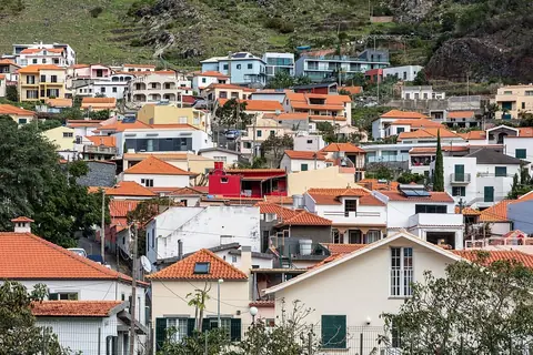
São Vicente

Access from the stop

SIGA lists São Vicente as a timing point, but does not name a caves stop. Plan the onward journey to the caves separately and check visitor access before travelling.

Seixal

Check the stop and direction

Access from the stop

Use the named Seixal stop or timing point for Seixal. Plan the pedestrian leg from that point to your exact destination; the bus sheet does not give a walking distance or confirm entrance access.
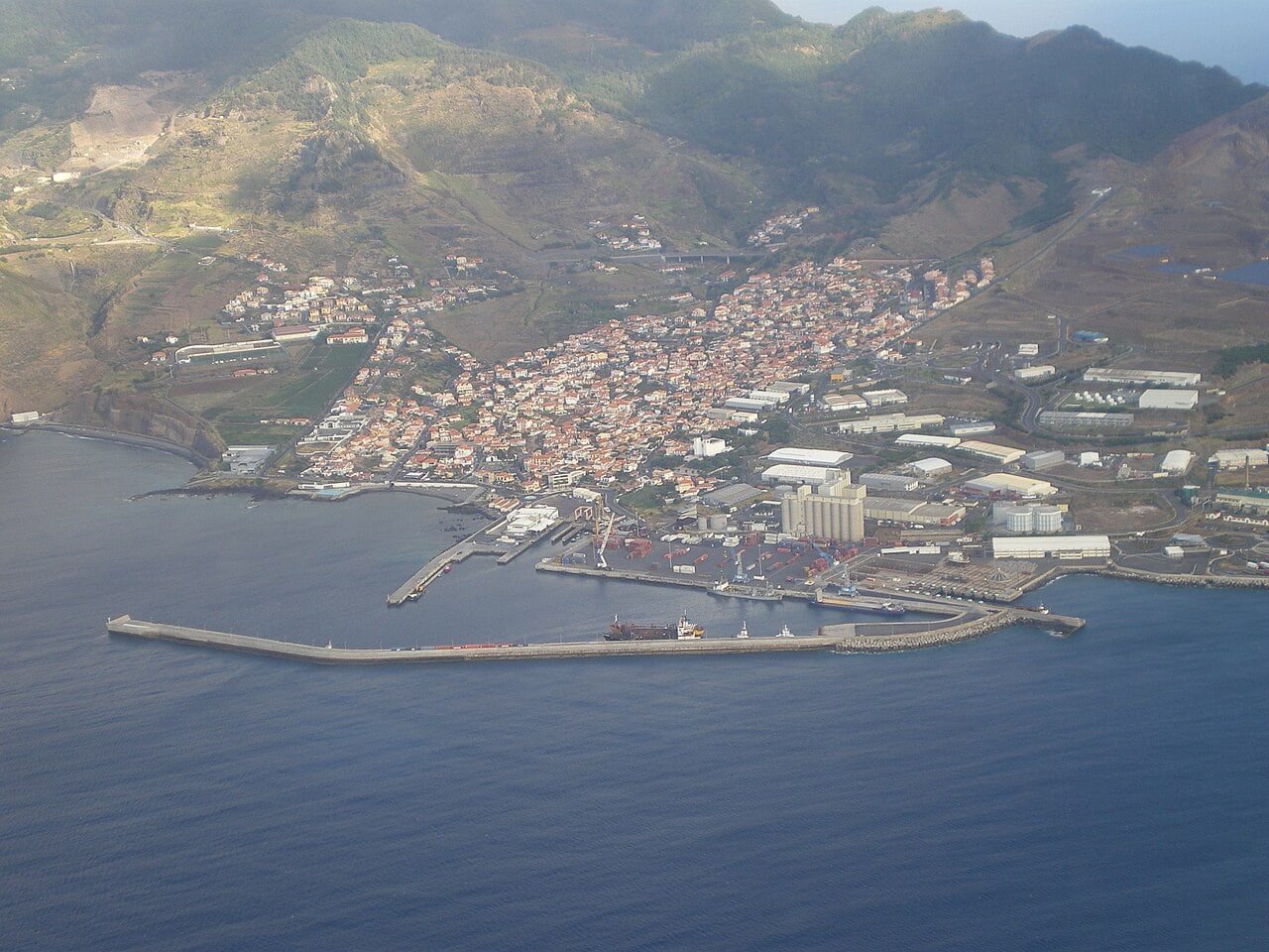
Santana

Access from the stop

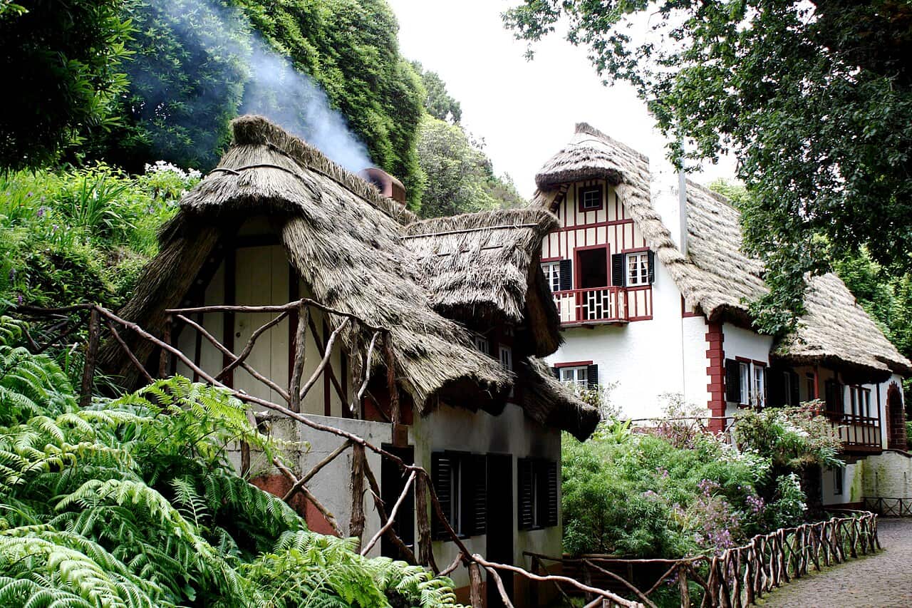
The Santana stop is in the town centre: the preserved thatched houses and the main square are a few minutes on foot. The Theme Park is also reached on foot from the town; Queimadas and Achada do Teixeira are onward journeys from Santana, not walks.

Ribeira da Janela

Check the stop and direction

Access from the stop

Use the named Ribeira da Janela stop or timing point for Ribeira da Janela. Plan the pedestrian leg from that point to your exact destination; the bus sheet does not give a walking distance or confirm entrance access.

Prazeres

  • 380
    return only

Check the stop and direction

Access from the stop

Use the named Prazeres ER 222 stop or timing point for Prazeres. Plan the pedestrian leg from that point to your exact destination; the bus sheet does not give a walking distance or confirm entrance access.
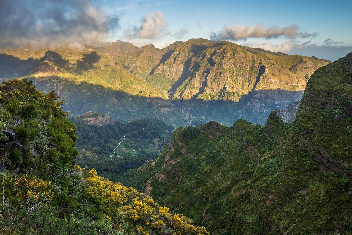
Porto Moniz

Access from the stop

The terminus is in the village; the natural lava pools, the aquarium in the old fort and the seafront restaurants are a few minutes on foot.

Ponta do Pargo

Check the stop and direction

Access from the stop

Use the named Ponta Pargo (Salão) stop or timing point for Ponta do Pargo. Plan the pedestrian leg from that point to your exact destination; the bus sheet does not give a walking distance or confirm entrance access.
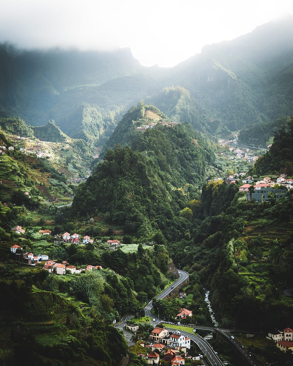
Ponta do Sol

Check the stop and direction

Access from the stop

Use the named Ponta do Sol stop or timing point for Ponta do Sol. Plan the pedestrian leg from that point to your exact destination; the bus sheet does not give a walking distance or confirm entrance access.
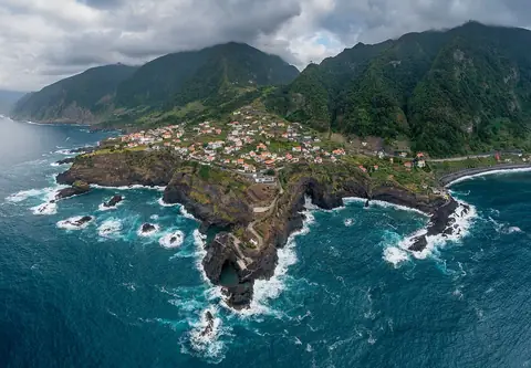
Ponta Delgada

Check the stop and direction

Access from the stop

Use the named P. Delgada stop or timing point for Ponta Delgada. Plan the pedestrian leg from that point to your exact destination; the bus sheet does not give a walking distance or confirm entrance access.
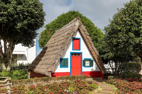
Paúl do Mar

Check the stop and direction

Access from the stop

Use the named Paul do Mar / Paúl do Mar stop or timing point for Paul do Mar. Plan the pedestrian leg from that point to your exact destination; the bus sheet does not give a walking distance or confirm entrance access.
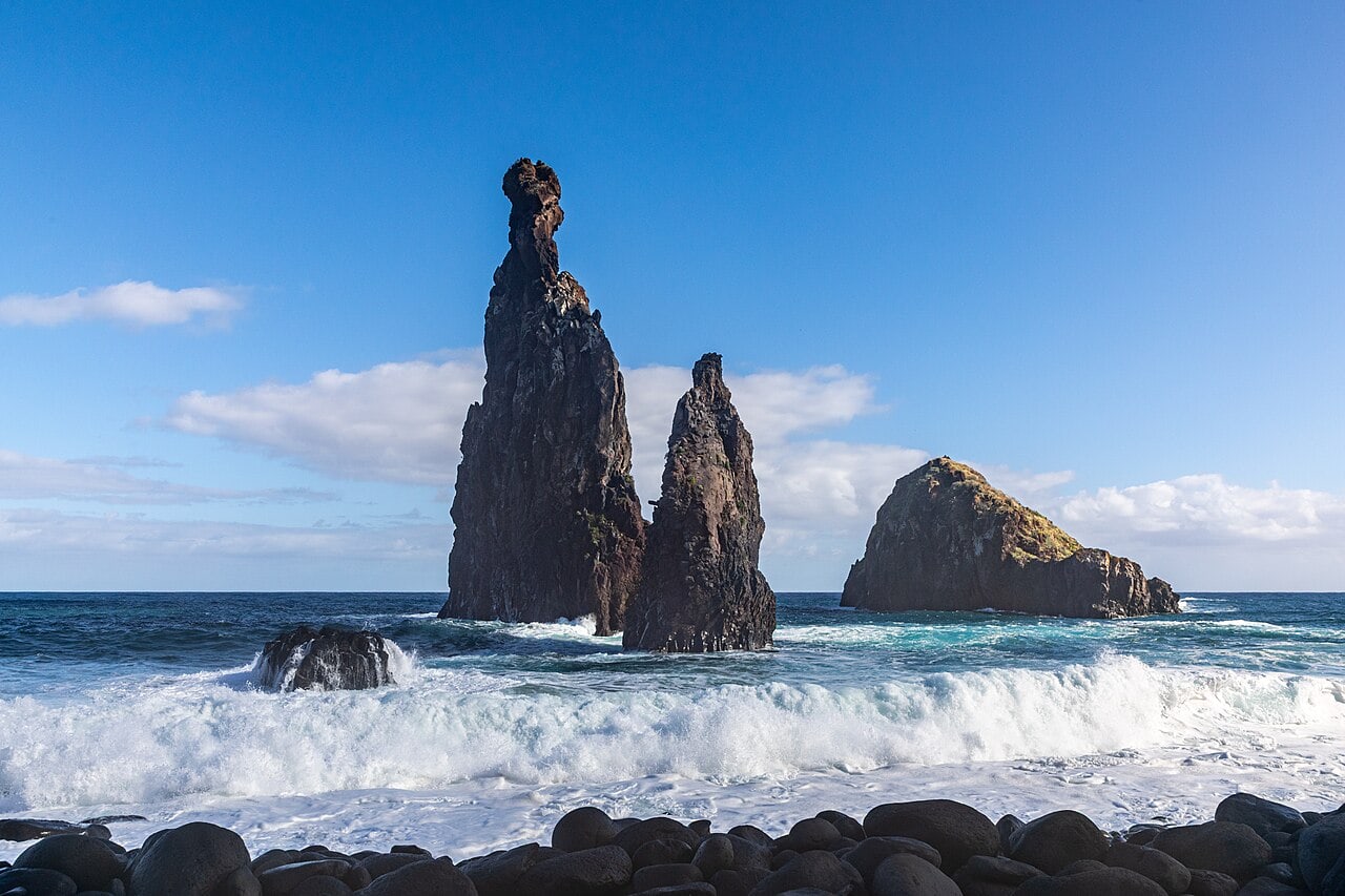
Madalena do Mar

Check the stop and direction

Access from the stop

Use the named Madalena do Mar stop or timing point for Madalena do Mar. Plan the pedestrian leg from that point to your exact destination; the bus sheet does not give a walking distance or confirm entrance access.
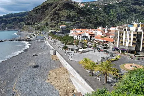
Jardim do Mar

Check the stop and direction

Access from the stop

Use the named Jardim do Mar stop or timing point for Jardim do Mar. Plan the pedestrian leg from that point to your exact destination; the bus sheet does not give a walking distance or confirm entrance access.
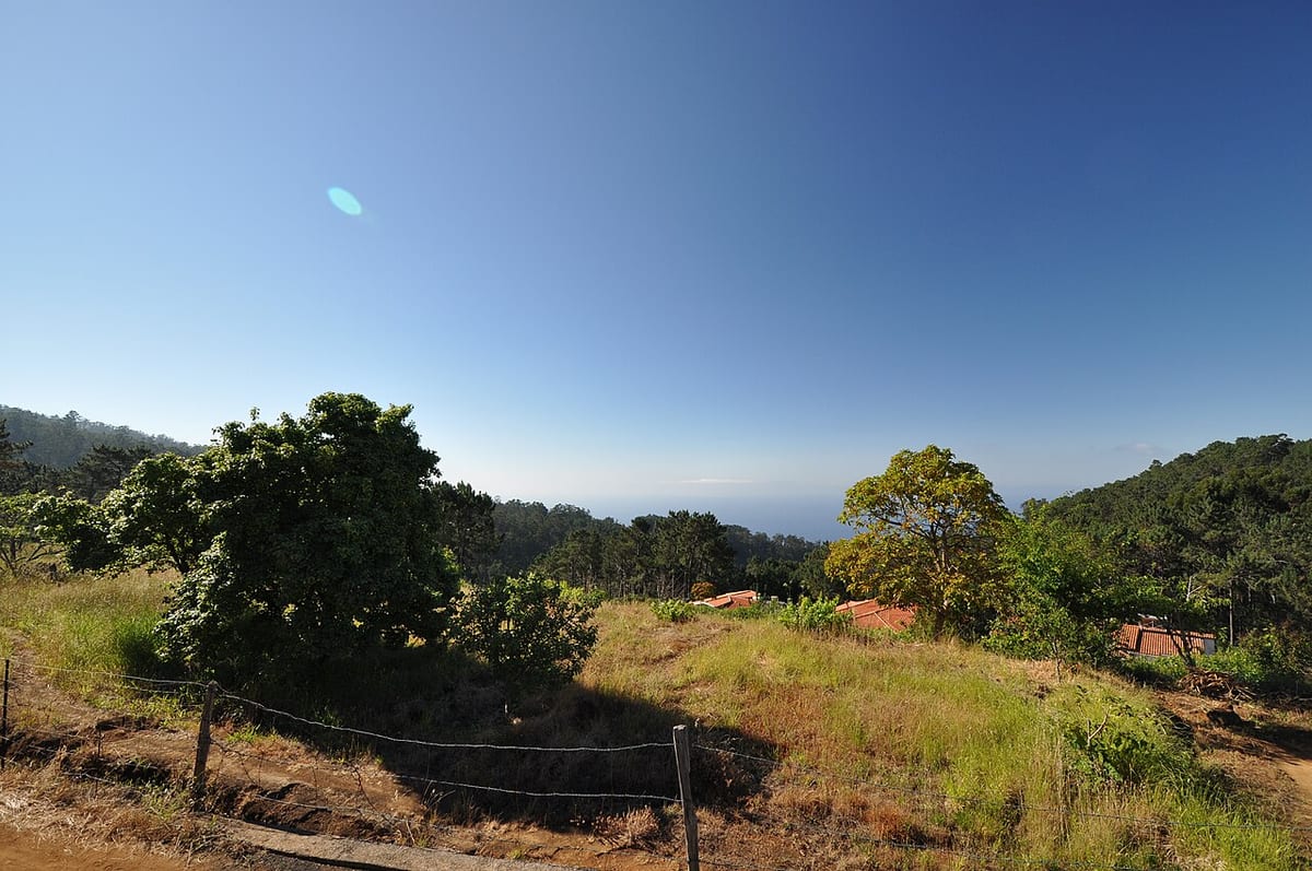
Faial

Check the stop and direction

Access from the stop

Use the named Faial stop or timing point for Faial. Plan the pedestrian leg from that point to your exact destination; the bus sheet does not give a walking distance or confirm entrance access.
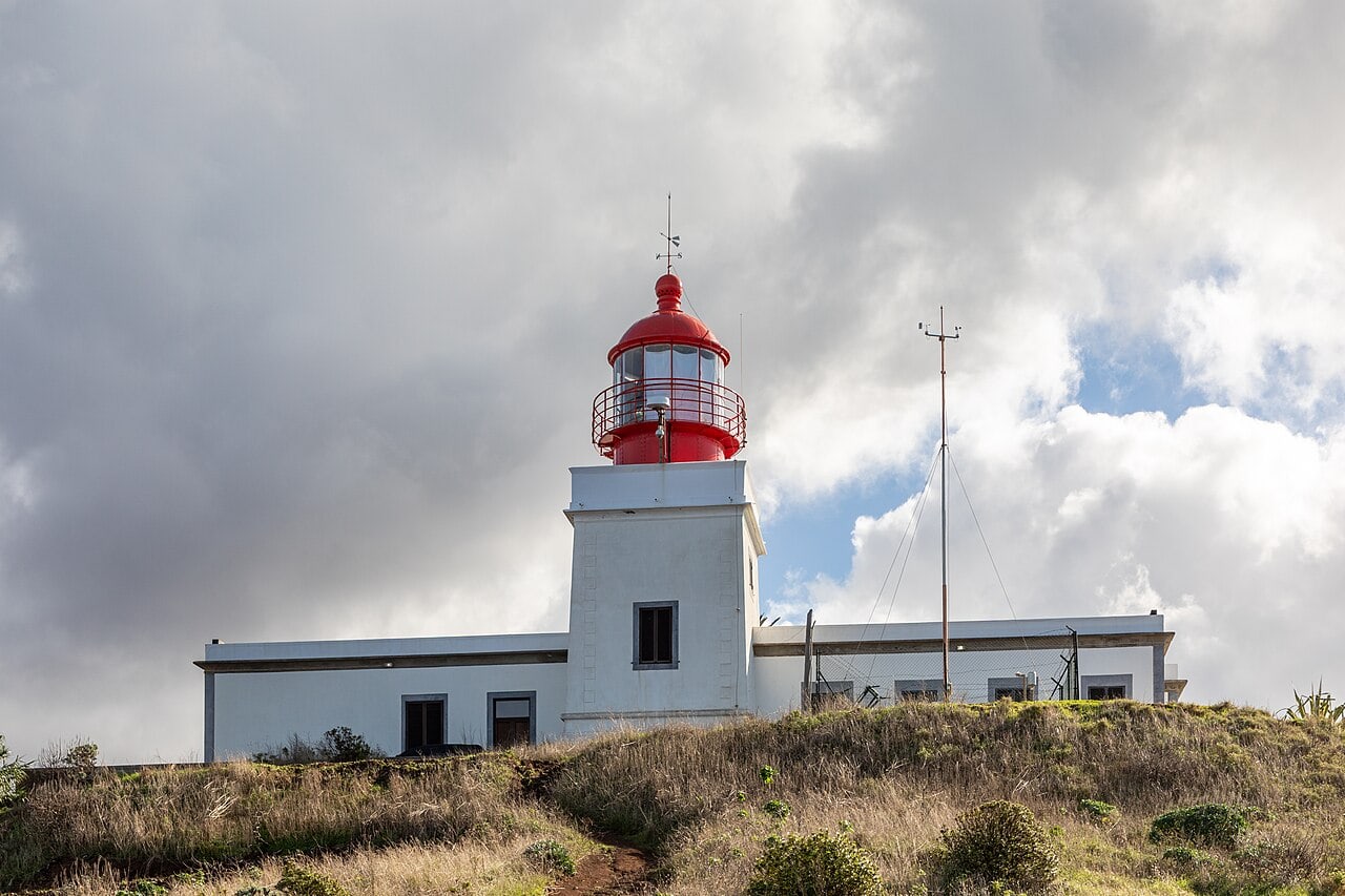
Campanário

Check the stop and direction

Access from the stop

Use the named Campanário stop or timing point for Campanário. Plan the pedestrian leg from that point to your exact destination; the bus sheet does not give a walking distance or confirm entrance access.
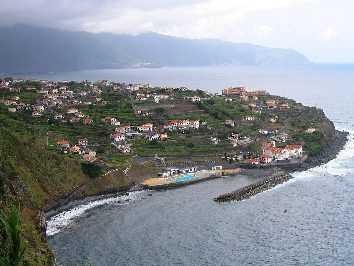
Fajã da Ovelha

Check the stop and direction

Access from the stop

Use the named Fajã Ovelha (Igreja) / Fajã Ovelha ER 222 stop or timing point for Fajã da Ovelha. Plan the pedestrian leg from that point to your exact destination; the bus sheet does not give a walking distance or confirm entrance access.
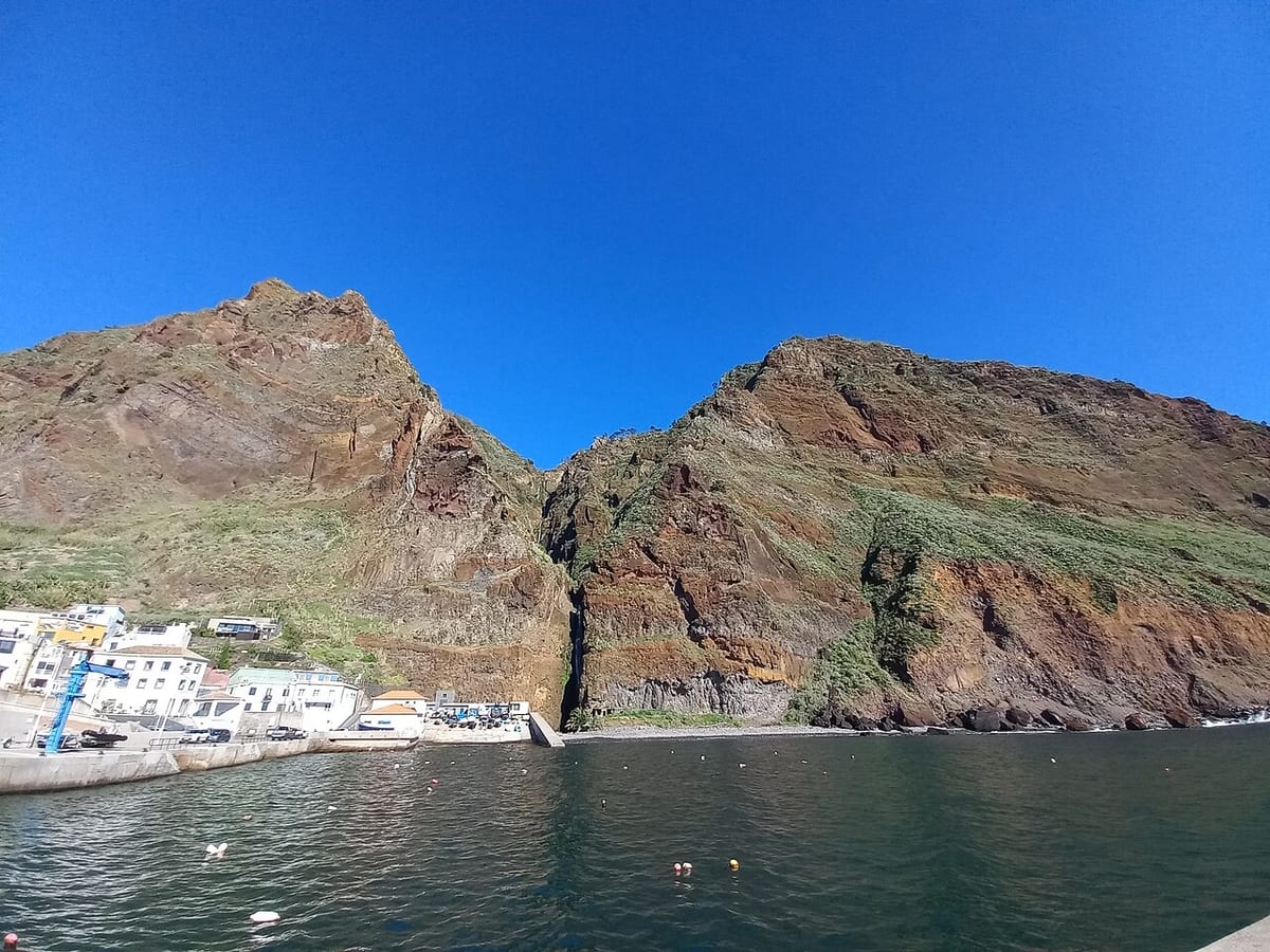
Calheta

Access from the stop

SIGA names Vila da Calheta, Fajã Calheta and Estrela Calheta as timing points, not a “Praia da Calheta” stop. Plan the final approach to the beach from the timing point for your chosen trip.

Boaventura

Access from the stop

The Boaventura timing point is on the main road through the village; the valley viewpoints and the Levada de Cima start are reached on foot from there.

Arco da Calheta

  • 380
    return only

Check the stop and direction

Access from the stop

Use the named Arco Calheta ER 222 stop or timing point for Arco da Calheta. Plan the pedestrian leg from that point to your exact destination; the bus sheet does not give a walking distance or confirm entrance access.
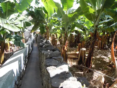
Achadas da Cruz

Check the stop and direction

Access from the stop

Use the named Achadas da Cruz stop or timing point for Teleférico das Achadas da Cruz. Plan the pedestrian leg from that point to your exact destination; the bus sheet does not give a walking distance or confirm entrance access.
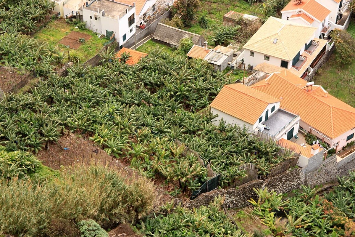
Arco de São Jorge

Check the stop and direction

Access from the stop

Use the named Arco São Jorge stop or timing point for Arco de São Jorge. Plan the pedestrian leg from that point to your exact destination; the bus sheet does not give a walking distance or confirm entrance access.
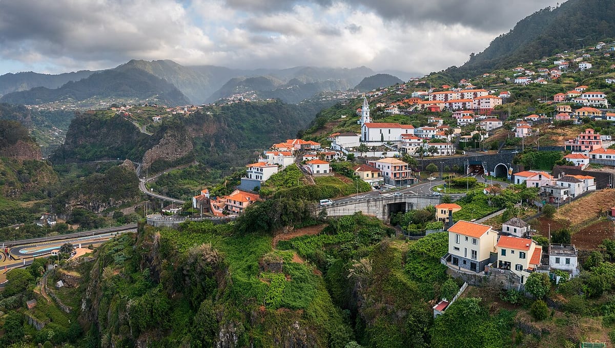
Mountains & levadas (10)

Ribeiro Frio

Check the stop and direction

Access from the stop

Ribeiro Frio is the access point named for PR11 Vereda dos Balcões and the start of PR10. For Balcões, return to Ribeiro Frio; for a one-way PR10 walk, arrange the exit from Portela separately.

Rabaçal

  • 380
    + onward transport

Check the stop and direction

Access from the stop

Vila da Calheta → Rabaçal — PR6 / PR6.1. The bus reaches the named town only. Arrange a taxi or tour transfer to the destination and a pickup back to the bus stop; do not treat the remaining road as a verified walking connection.

The bus reaches the named town only. Arrange a taxi or tour transfer to the destination and a pickup back to the bus stop; do not treat the remaining road as a verified walking connection.

Queimadas

  • 801
    + onward transport
  • 850
    + onward transport

Check the stop and direction

Access from the stop

Santana → Queimadas — PR9. The bus reaches the named town only. Arrange a taxi or tour transfer to the destination and a pickup back to the bus stop; do not treat the remaining road as a verified walking connection.

The bus reaches the named town only. Arrange a taxi or tour transfer to the destination and a pickup back to the bus stop; do not treat the remaining road as a verified walking connection.

The bus reaches the named town only. Arrange a taxi or tour transfer to the destination and a pickup back to the bus stop; do not treat the remaining road as a verified walking connection.

Pico do Areeiro

  • 801
    + onward transport
  • 850
    + onward transport

Check the stop and direction

Access from the stop

The dedicated bus stops at the summit car park and the radar roundabout; the PR1 trail towards Pico Ruivo starts at the summit. From Poiso, 7 km of mountain road remain and nothing on this site treats that as a connection.

Selected trips only. Arrange separate transport for the remaining 7 km of mountain road to the summit; this is not a verified walking connection.

Selected trips only. Arrange separate transport for the remaining 7 km of mountain road to the summit; this is not a verified walking connection.

Paul da Serra

  • 340
    + onward transport

Check the stop and direction

Access from the stop

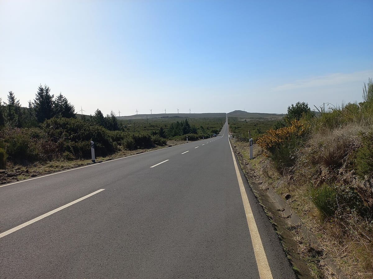
Ribeira Brava → Paul da Serra. The bus reaches the named town only. Arrange a taxi or tour transfer to the destination and a pickup back to the bus stop; do not treat the remaining road as a verified walking connection.

The bus reaches the named town only. Arrange a taxi or tour transfer to the destination and a pickup back to the bus stop; do not treat the remaining road as a verified walking connection.

Fanal

  • 340
    + onward transport

Check the stop and direction

Access from the stop

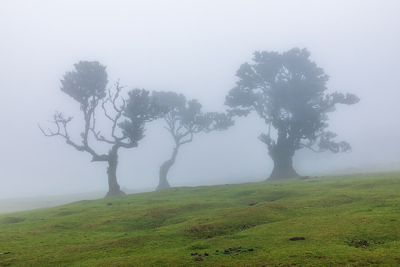
Porto Moniz → Fanal. The bus reaches the named town only. Arrange a taxi or tour transfer to the destination and a pickup back to the bus stop; do not treat the remaining road as a verified walking connection.

The bus reaches the named town only. Arrange a taxi or tour transfer to the destination and a pickup back to the bus stop; do not treat the remaining road as a verified walking connection.

Encumeada

Check the stop and direction

Access from the stop

Use the named Encumeada stop or timing point for Encumeada. Plan the pedestrian leg from that point to your exact destination; the bus sheet does not give a walking distance or confirm entrance access.
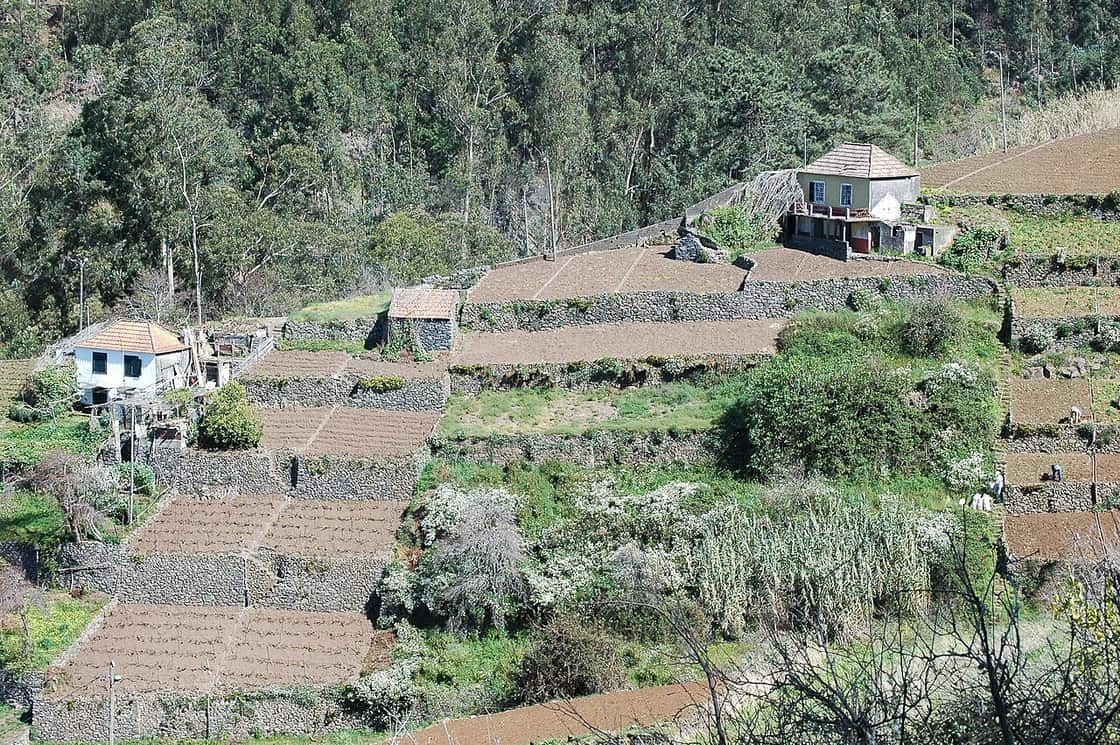
Eira do Serrado

Check the stop and direction

Access from the stop

Use the named Eira do Serrado stop or timing point for Eira do Serrado. Plan the pedestrian leg from that point to your exact destination; the bus sheet does not give a walking distance or confirm entrance access.
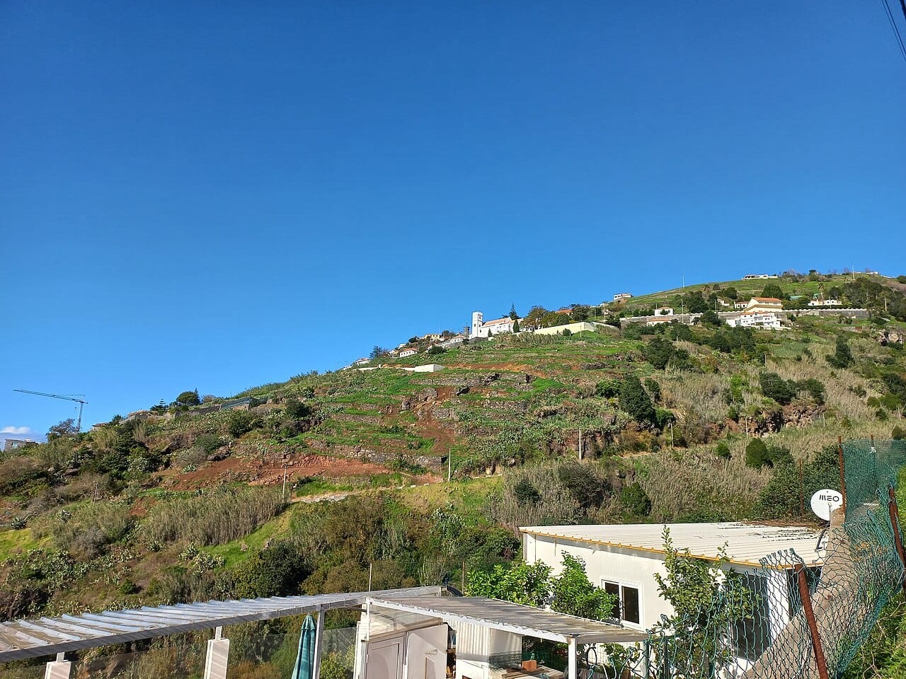
Curral das Freiras

Access from the stop

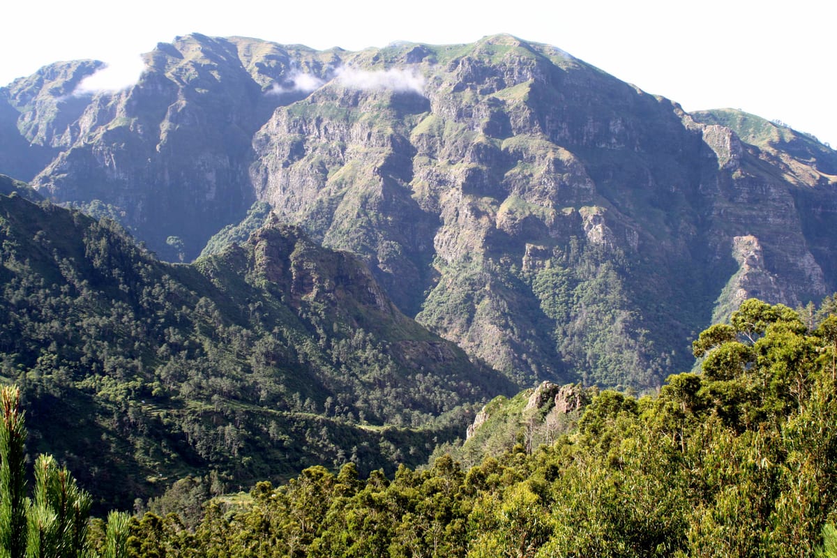
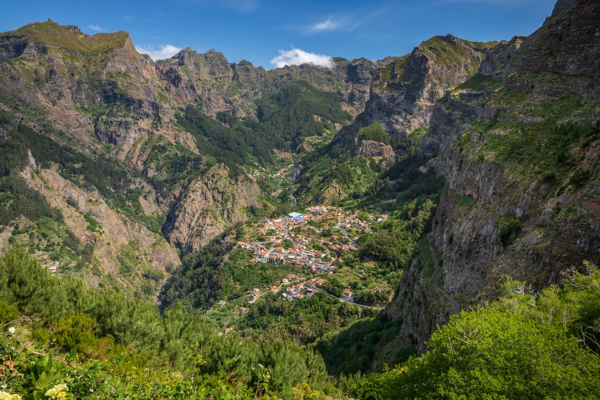
For the village, use the named Curral das Freiras stops. Eira do Serrado is a separate request stop: only the b), c) and e) trips can serve it. Plan any onward walk separately.
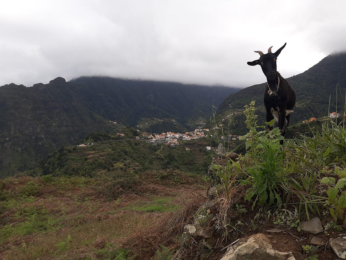
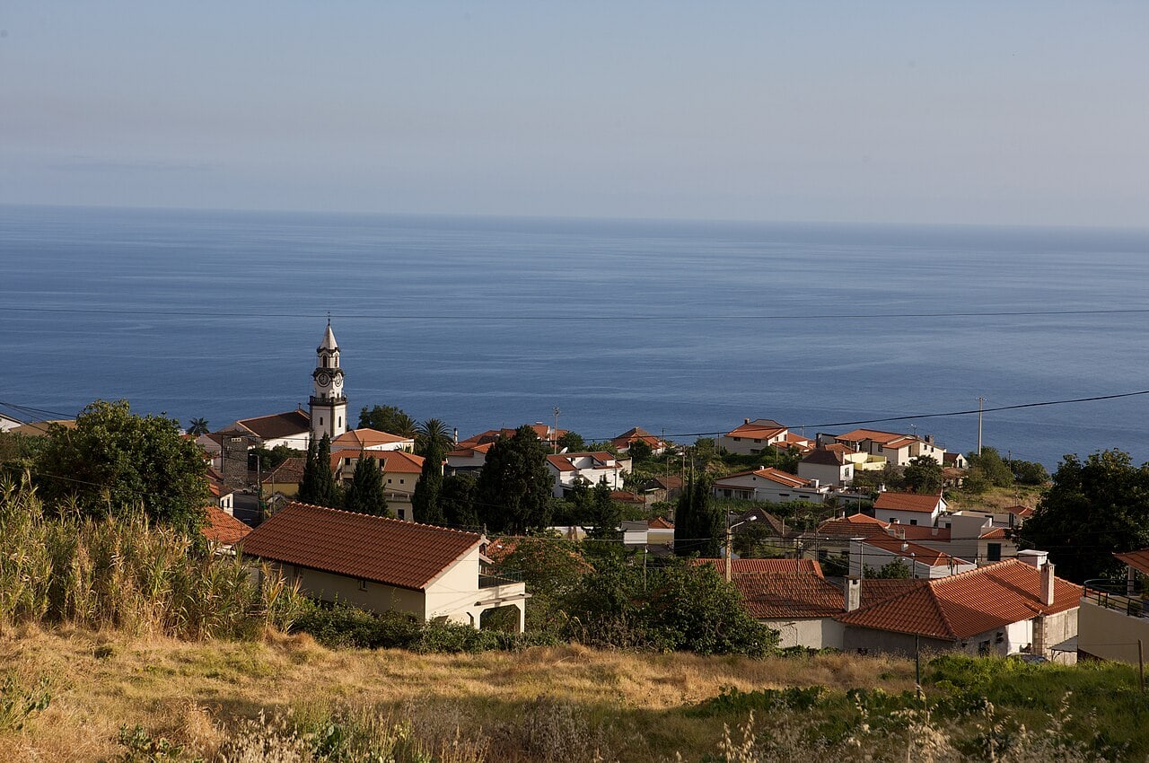
Achada do Teixeira

  • 801
    + onward transport
  • 850
    + onward transport

Check the stop and direction

Access from the stop

Santana → Achada do Teixeira — PR1.2. The bus reaches the named town only. Arrange a taxi or tour transfer to the destination and a pickup back to the bus stop; do not treat the remaining road as a verified walking connection.

The bus reaches the named town only. Arrange a taxi or tour transfer to the destination and a pickup back to the bus stop; do not treat the remaining road as a verified walking connection.

The bus reaches the named town only. Arrange a taxi or tour transfer to the destination and a pickup back to the bus stop; do not treat the remaining road as a verified walking connection.

Keep the timetables with you

Madeira Bus is free to download: the free version covers journey planning on the SIGA network and offline timetables in English, Portuguese, German and French. The offline route map is a paid premium upgrade.